
“Community leaders now have up-to-date maps that show this is their land and how they care for it.”
Mponda, Zambia - Transforming complex land-use questions into clear, shared maps and community-led agreements.
In the Mponda area of Zambia, between Lusaka and Kafue, community-led land-use management is becoming a reality through a strong partnership between By Life Connected and Sensing Clues. By Life Connected leads the land-use planning process, working closely with local communities to organise activities, facilitate dialogue, and turn shared decisions into practical, locally agreed bylaws. Sensing Clues, in close collaboration with its tech partners, provides the conservation technology.
This is community-led land-use management in action: a process in which local communities collectively decide how land is used, protected, and shared - supported by local knowledge, transparent maps, and conservation technology.
From local knowledge to shared decisions
Community-led land-use management has two tightly connected parts:
Land-use planning: agreeing together how land should be used.
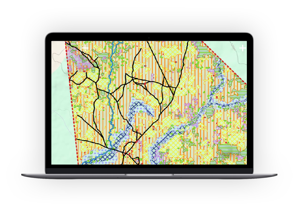
Land-use mapping: showing those agreements clearly on maps.
By Life Connected leads the planning process on the ground, working closely with communities to organise meetings, facilitate dialogue, and translate shared decisions into practical, locally agreed bylaws. Sensing Clues supports this work by providing accurate land-use maps based on satellite data, remote sensing, and ground-truth collection. For land-use mapping, Sensing Clues works closely with its long-term solution partner 3edata, whose expertise in satellite data processing, AI-based land classification, and scalable geospatial infrastructure ensures that maps are not only accurate, but also robust, repeatable, and suitable for long-term monitoring.
Together, this partnership turns local knowledge into something tangible: maps that everyone can see, understand, and use. As Lars Vermeer, Co-Founder and Executive Director of By Life Connected, puts it: "For the first time, communities can point to a map and say: this is our land, these are our rules, and this is how we protect it together."
How the land-use planning process works
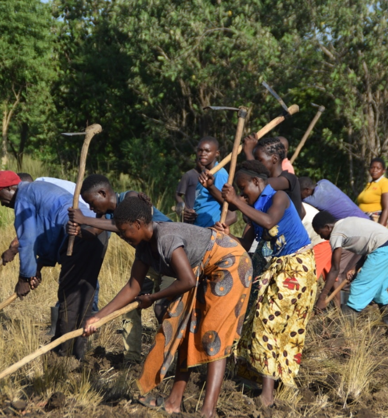
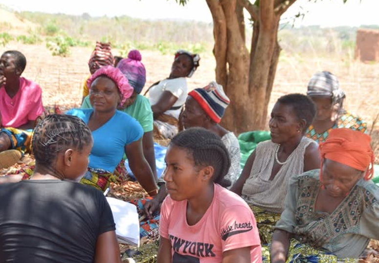
The land-use planning process is driven by communities themselves. Through a series of structured steps, communities agree on how land should be used, protected, and managed over time.
Key steps include:
Organising communities
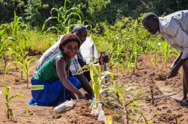
Ground-truth collection
Drafting bylaws
Zoning
Training
Monitoring
Enforcement
As part of this process, communities define land-use zones using a shared framework:
Natural zones for protection and restoration
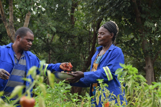
Economic zones for farming and livelihoods
Combined zones where sustainable use is allowed
Each zone is supported by clear bylaws and maps that set out what is allowed, what is not, and how the rules are enforced.
How the land-use mapping process works
The land-use mapping process provides the evidence base that underpins planning and zoning decisions. It combines community knowledge, field data, and satellite imagery to create accurate and repeatable maps.
Key steps include:
Defining objectives, sharing knowledge, and organising the process
Identifying training points
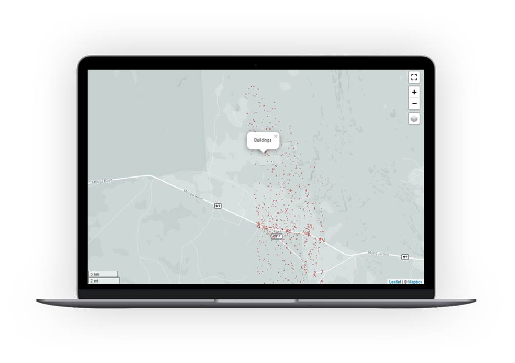
Ground-truth collection
Developing an AI-based training model
Refining the model using local knowledge
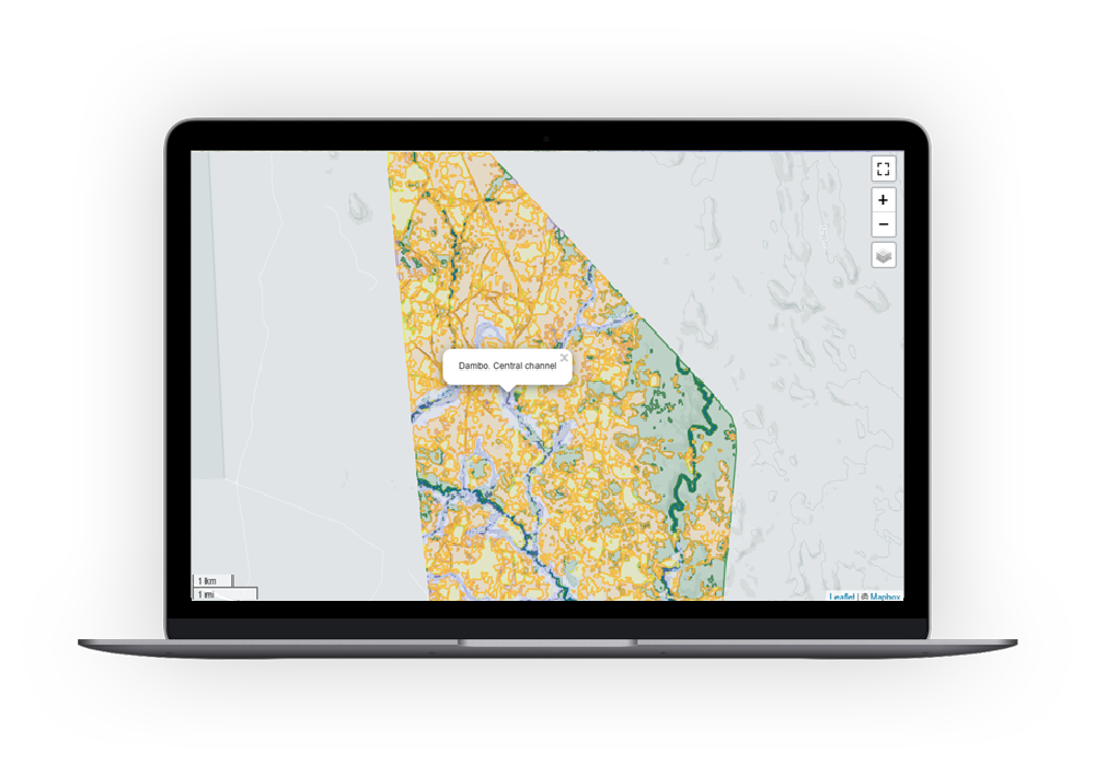
Producing land-use and habitat map layers
Annual monitoring, evaluation, and learning (MEL) updates
Training points - locations where land use is known with certainty - are collected by communities and partners on the ground. These points are used to train AI models that classify satellite imagery into detailed land-use and habitat maps.
With the support of 3edata’s AI and remote-sensing expertise, the resulting maps are consistent, scalable, and regularly updated to reflect changes in the landscape. Land-use and zoning maps can then be uploaded into Sensing Clues’ Data Collection App Cluey or the Analytical Toolbox, where they remain accessible, updatable, and usable for long-term monitoring, reporting, and decision-making.
Where Mponda stands today
In Mponda, the land-use mapping process is complete, and communities have now entered the crucial zoning phase. Together, they are discussing how each zone should be used and which bylaws apply to each one. Once zoning decisions are finalised, the next steps will include:
Applying agreed bylaws
Starting systematic monitoring
Enabling environmental law enforcement and patrolling
This transition - from maps to rules, and from rules to action - marks a key milestone in turning planning into real-world impact.
Ready to scale
What makes this story powerful is not only the progress in Mponda, but its potential far beyond it. The combination of strong community leadership, trusted local partners, and reliable conservation technology has created a model that is ready to be applied in regions across the globe. As Jan-Kees Schakel, Founder of Sensing Clues, explains: “System change can only happen when local communities are empowered to lead. Co-creating up-to-date maps with them is just one - yet highly critical - ingredient in this invaluable process.”
Community-led land-use management shows what is possible when communities are entrusted as decision-makers and supported with the right tools. Clear maps, shared rules, and strong local ownership are laying the foundation for lasting impact - for people and for nature.